 Government / Water Resources
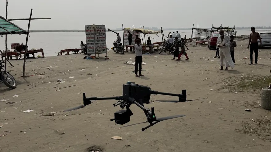
Garhmukteshwar Riverfront — Drone LiDAR & Bathymetric Survey
RGB Point CloudOrthomosaicDTM & DSMTopographic DWGXYZ File
ClientHapur Zila Panchayat

Generation and processing of geospatial datasets — orthomosaics, terrain models, contours and classified point clouds — as a service.
Photogrammetry and point-cloud processing turns overlapping aerial images or LiDAR returns into measurable products: orthomosaics, digital terrain and surface models, contours and classified point clouds. Data acquisition is half the job; disciplined processing is the other half. BTPL processes photogrammetric blocks and LiDAR point clouds in-house — and offers processing as a standalone service to drone operators, survey firms and consultants who capture data but need engineering-grade outputs.
Processing is treated as surveying, not graphics: every product traces back to control, residuals are reported, and classification is reviewed by people who understand terrain.
BTPL processes photogrammetric blocks and LiDAR point clouds in-house — and as a service on data supplied by others — into orthomosaics, terrain models, contours and classified point clouds, covering:
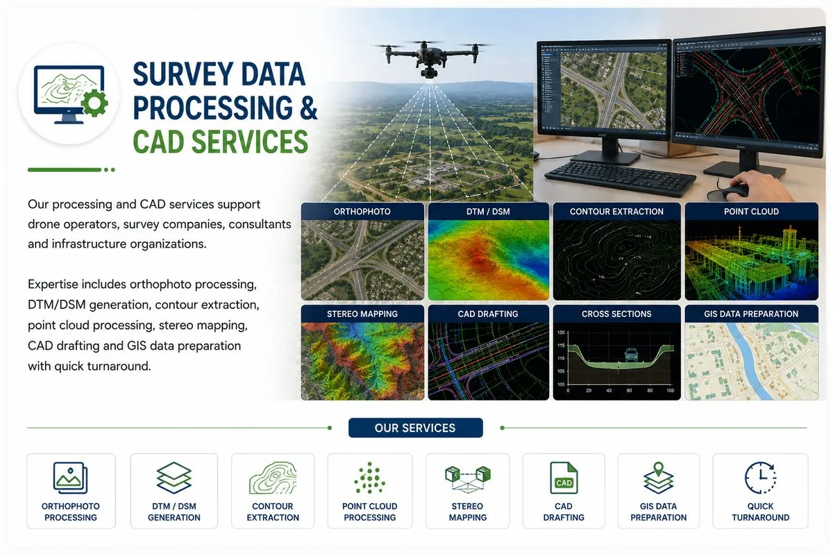
Imagery/cloud, control and metadata checked for completeness and quality before committing to processing.
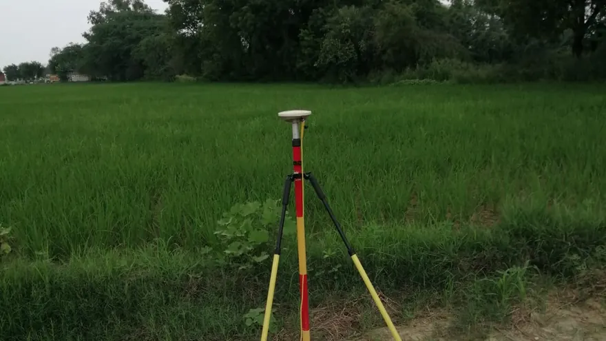
Aerial triangulation / strip adjustment against supplied control; residual report issued.
Dense matching or LiDAR gridding; DSM edited to DTM with breaklines where required.
Contours, planimetric features and GIS layers extracted to specification.
Check-point verification, edge-match and topology checks, delivery in agreed formats.
Nothing is delivered on visual inspection alone: orthos and surfaces are verified against check points, classification is sampled manually, and the processing report records software, parameters and residuals so results are defensible.
Government / Water Resources
 Water Resources
 Balaji Surveyors Pvt Ltd
Yes — send imagery or point clouds with control information, and BTPL returns verified orthos, terrain and CAD/GIS products with a processing report.
Standard interchange formats: GeoTIFF, LAS/LAZ, DWG/DXF, SHP/GeoPackage, ASCII grids and KML/KMZ, per your downstream software.
Image overlap and texture, control quality and honest editing — especially vegetation removal. Where imagery cannot see the ground, we say so rather than smoothing over it.
Tell us the location, the approximate area or corridor length, and the deliverables you need — we will respond with the appropriate methodology and a clear proposal.