Advanced Surveying & Geospatial Solutions

From field data acquisition to engineering-ready deliverables — BTPL combines UAV, LiDAR, GNSS/RTK, photogrammetry and conventional surveying technologies for infrastructure and development projects.

  • UAV
  • LiDAR
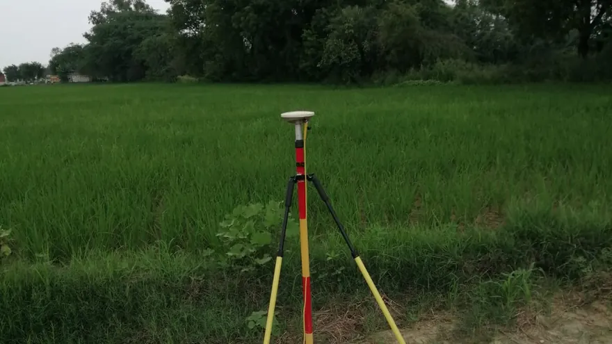
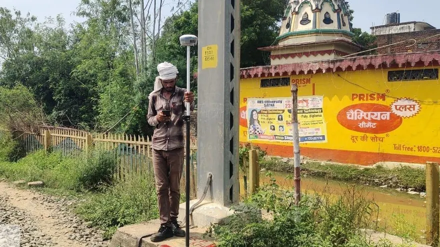
  • GNSS / RTK
  • Photogrammetry
  • Hydrography
  • CAD / GIS

Free tool — Coordinate Converter (UTM ⇄ Lat/Long)

DTM · 0.5 m 101.42102.1899.86100.94 N TOPOGRAPHICAL PLAN · 1:1000 · CONTOUR 0.5 m 01 · SITE 02 · UAV / LIDAR CAPTURE 03 · POINT CLOUD → TERRAIN 04 · CAD DELIVERABLE SITE → CAPTURE → TERRAIN → CAD
One site, four representations — how BTPL turns ground reality into engineering data.
Our Workflow

From Field to Engineering-Ready Data

Watch a survey move from the field to a finished deliverable — a single accountable workflow of acquisition, processing, analysis and delivery under one roof.

CUT/FILL ORTHODTMCADREPORT01 · CAPTUREUAV · LiDAR · GNSS02 · PROCESSPhotogrammetry · point cloud03 · ANALYSEContours · sections · volumes04 · DELIVERCAD · GIS · reportsPROCESS TIMELINE
01 — CAPTURE

Field Data Acquisition

  • UAV & Drone LiDAR
  • GNSS / RTK & DGPS
  • Total Station
  • Digital Level
  • Hydrographic systems
02 — PROCESS

Data Processing

  • Photogrammetry
  • Point-cloud processing
  • Terrain modelling
  • GIS processing
03 — ANALYSE

Engineering Analysis

  • Contours & profiles
  • Cross sections
  • Volumes
  • Spatial analysis
04 — DELIVER

Usable Deliverables

  • CAD & GIS
  • Orthomosaic · DTM · DSM
  • Point cloud
  • Drawings & reports
Core Capabilities

What BTPL Does

Ten capability groups covering the full survey and geospatial workflow — from field acquisition to subsurface investigation and engineering deliverables.

UAV / Drone Survey

High-resolution aerial mapping, orthophotos, terrain modelling and engineering survey data.

Explore Capability

Drone LiDAR Survey

Dense 3D point-cloud acquisition for terrain, corridors, infrastructure and vegetation-affected sites.

Explore Capability

GNSS / DGPS / RTK Survey

High-accuracy survey control, GCP establishment, static observations and RTK field measurements.

Explore Capability

Topographic & Engineering Survey

Detailed ground survey for infrastructure, design, construction and development projects.

Explore Capability

Hydrographic / Bathymetric Survey

Rivers, canals and reservoirs surveyed with positioning and echo-sounding technology.

Explore Capability

Corridor & Infrastructure Survey

Highway, railway, transmission line, canal and pipeline surveys for linear infrastructure.

Explore Capability

Photogrammetry & Point Cloud

Orthomosaics, terrain models, contours and classified point clouds processed in-house.

Explore Capability

CAD / GIS & Mapping

Engineering-ready CAD drawings, GIS datasets, digital maps and geospatial deliverables.

Explore Capability

GPR / Subsurface Survey

Non-destructive Ground Penetrating Radar investigation for buried utilities, structures and features.

Explore Capability

Ground Truthing & GCP Networks

DGPS validation of satellite imagery and ground control networks for mapping programmes.

Explore Capability
Proof of Work

Selected Projects

Representative BTPL assignments — what was required, how it was surveyed, and what was delivered.

View All Projects

Technology

Technology Behind Our Accuracy

Grouped by capability — the right sensor and method are selected per project, not the other way around.

Aerial Mapping

UAV mapping systems for efficient large-area data acquisition.

LiDAR Reality Capture

LiDAR systems for dense 3D measurement and terrain modelling.

GNSS Positioning

Professional GNSS/RTK technology for survey control and field observations.

Engineering Measurement

Total Stations, Digital Levels and associated field instrumentation.

Hydrographic Mapping

Positioning and echo-sounding systems for underwater terrain measurement.

Processing Capability

Photogrammetry, point-cloud, terrain and GIS processing workstations and software.

Technology & Equipment

Outputs

From Survey Data to Usable Deliverables

BTPL does not simply collect data — every project ends in information your engineers can use directly.

OrthomosaicGeoreferenced aerial imagery
Digital Terrain ModelBare-earth DTM surfaces
Digital Surface ModelDSM incl. structures
ContoursProject-specified intervals
3D Point CloudRaw & processed clouds
Classified LiDARGround / vegetation / structures
CAD Topographical DrawingDWG / DXF standards
GIS DataShapefile / GeoPackage / KML
Cross SectionsDesign-ready sections
Longitudinal ProfilesCorridor L-sections
Volume AnalysisCut–fill & stockpiles
Bathymetric SurfaceUnderwater terrain
KML / KMZGoogle Earth ready
Technical ReportsMethodology & QC records
Interactive

DSM ↔ DTM — See the Difference

Drag the divider: a Digital Surface Model includes vegetation and structures, the Digital Terrain Model is the processed bare-earth surface engineers design on. (Illustrative visual.)

148.6 132.4 bare-earth terrain with contours · DTM
DSM · surface incl. vegetation & structures
DSMDTM
Why BTPL

Built for Serious Survey Requirements

Integrated Survey Capability

Conventional and advanced survey technologies within one workflow.

Field + Processing Expertise

Data acquisition supported by professional post-processing and mapping.

Engineering-Focused Outputs

Deliverables structured for practical design, planning and project use.

Flexible Technology Selection

Survey methodology selected according to terrain, accuracy and project requirements.

Multi-Sensor Capability

GNSS, UAV, LiDAR, Total Station and hydrographic systems available where applicable.

Project-Specific Quality Control

Control and validation planned according to project requirements.

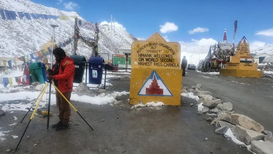
BTPL surveyor setting up GNSS at Chang La pass, Ladakh at 17,688 ft
Wherever the project is — BTPL surveys there. Control survey at Chang La pass, Ladakh · 17,688 ft.
2009Established (August 2009)
1,600+ kmCorridor surveyed
3,350+ acresArea mapped
12+ StatesKerala to Ladakh
Clients

Clients Served

Organisations for whom BTPL has completed survey assignments, in some cases as a sub-consultant to the party named.

Names and marks identify organisations for whom Bearing Technology Pvt. Ltd. has completed survey assignments, in some cases as a sub-consultant. All marks belong to their owners; their use here indicates completed work only, not endorsement, approval, empanelment or partnership. Rights owners may write to info@bearingtechnology.biz for removal.

Free Survey Tools

Professional Tools, Free for the Survey Community

BTPL builds and maintains a growing set of free browser-based utilities for surveyors, GIS professionals and engineers: coordinate conversion, distance and area, bearing and traverse, point-file conversion, survey units, drone GSD and flight planning, and levelling. Everything runs in your browser; your data never leaves your machine.

Coordinate Converter

UTM ⇄ Lat/Long · 24 ellipsoids incl. Everest 1830 · DD / DM / DMS · bulk CSV & Excel · KML / KMZ · PDF reports · English & हिन्दी

Single PointBulk Conversion KML / KMZPDF Report
  Built by experienced survey & geospatial professionals

Bearing Technology Pvt. Ltd.

A Delhi-based surveying and geospatial company established in August 2009, serving government, EPC and private-sector clients across India with field teams whose professional experience ranges from 10 to 15+ years.

About BTPL
Knowledge

Technical Resources

UTM vs Latitude/Longitude

When to use projected grid coordinates and when geographic coordinates serve better.

Read Guide

DSM vs DTM

Surface models and terrain models — what each contains and which one your project needs.

Read Guide

GNSS vs DGPS vs RTK

Positioning methods and accuracy classes explained for project planning.

Read Guide

Have a Survey or Geospatial Requirement?

Share your project location, approximate scope and required deliverables. Our team will review the requirement and discuss the appropriate survey approach.