
Survey & Geospatial Capabilities
Ten capability groups covering the complete workflow — field acquisition by UAV, LiDAR, GNSS, total station and hydrographic systems, through processing, to engineering-ready CAD and GIS deliverables.
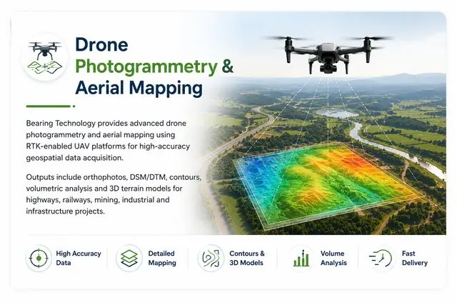
UAV / Drone Survey
High-resolution aerial mapping, orthophotos, terrain modelling and engineering survey data for infrastructure and land-development projects.
Explore Capability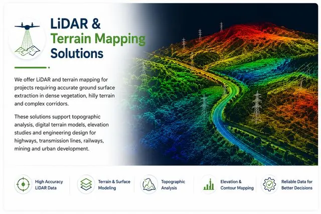
Drone LiDAR Survey
Dense 3D point-cloud acquisition for terrain, corridors, infrastructure and vegetation-affected sites where photogrammetry cannot see the ground.
Explore Capability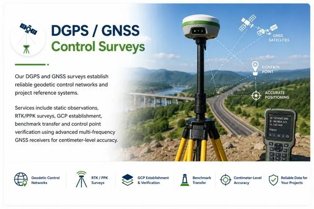
GNSS / DGPS / RTK Survey
High-accuracy survey control, GCP establishment, static observations and RTK field measurements — the geodetic foundation every project stands on.
Explore Capability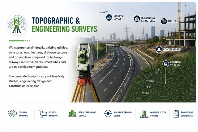
Topographic & Engineering Survey
Detailed ground survey for infrastructure, design, construction and development projects — the classical core of BTPL's practice since 2009.
Explore Capability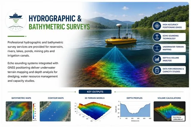
Hydrographic / Bathymetric Survey
Rivers, canals, reservoirs and other water bodies surveyed with positioning and echo-sounding technology for depths, sections and capacity studies.
Explore Capability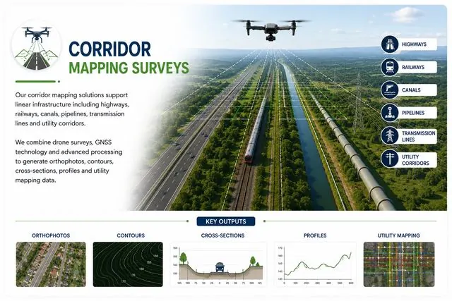
Corridor & Infrastructure Survey
Highway, railway, transmission line, canal and pipeline surveys — linear infrastructure demands corridor-scale methods and discipline.
Explore Capability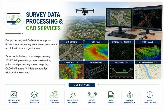
Photogrammetry & Point Cloud Processing
Generation and processing of geospatial datasets — orthomosaics, terrain models, contours and classified point clouds — as a service.
Explore Capability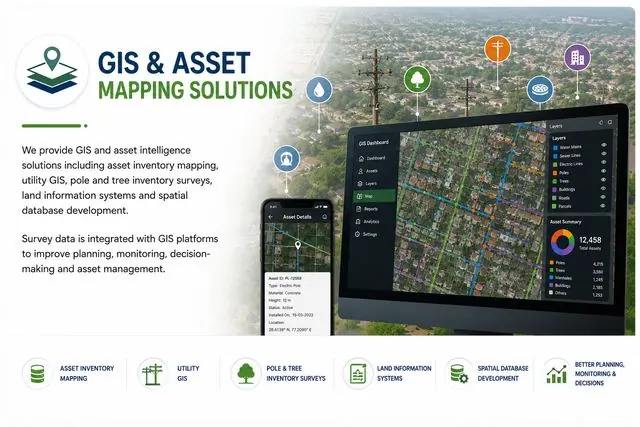
CAD / GIS & Mapping
Engineering-ready CAD drawings, GIS datasets, digital maps and geospatial deliverables — the form in which survey data becomes usable.
Explore Capability
GPR / Subsurface Utility Survey
Non-destructive subsurface investigation using radar pulses to locate buried utilities, structures, voids and layer interfaces, executed for CPWD and DDA.
Explore Capability
Ground Truthing & GCP Networks
Independent ground verification for satellite imagery and digital mapping programmes
Explore CapabilityHave a Survey or Geospatial Requirement?
Share your project location, approximate scope and required deliverables. Our team will review the requirement and discuss the appropriate survey approach.