 Government / Water Resources
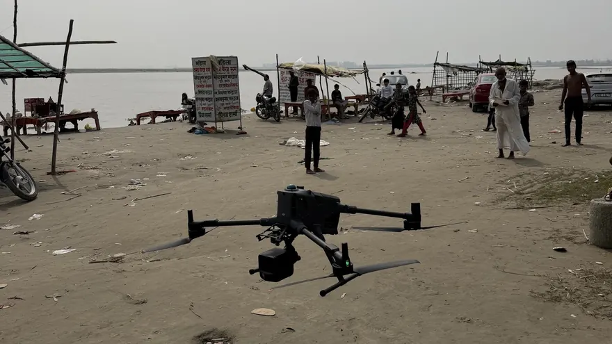
Garhmukteshwar Riverfront — Drone LiDAR & Bathymetric Survey
RGB Point CloudOrthomosaicDTM & DSMTopographic DWGXYZ File
ClientHapur Zila Panchayat

Rivers, canals, reservoirs and other water bodies surveyed with positioning and echo-sounding technology for depths, sections and capacity studies.
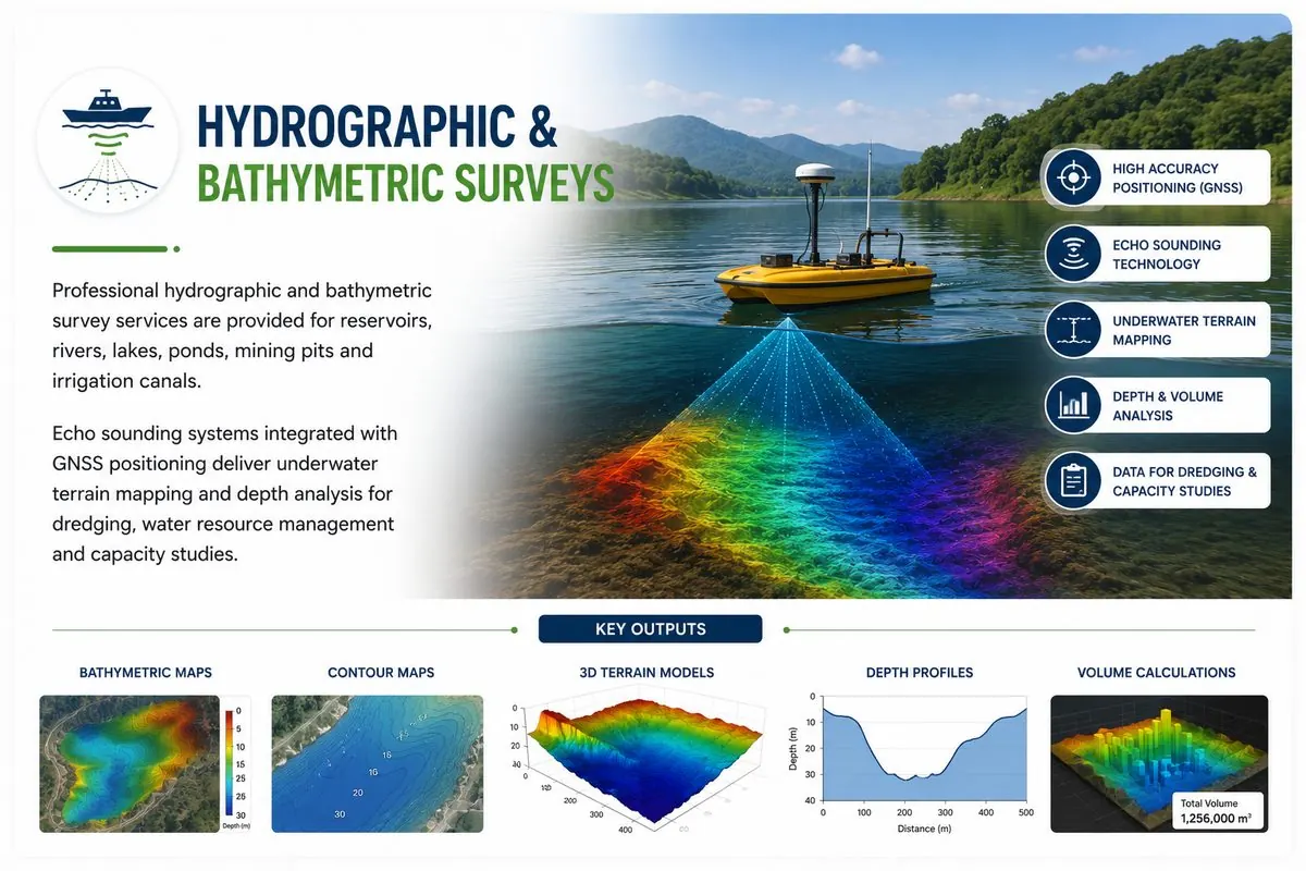
Underwater terrain cannot be seen — it must be sounded. BTPL performs hydrographic surveys combining GNSS positioning with echo sounders to map river beds, reservoir bottoms, canals and ponds, integrated seamlessly with land survey of banks and structures.
The result is a single continuous surface from dry land through the waterline to the bed — the basis for cross sections, capacity computation, sedimentation assessment and dredging quantities.
BTPL combines GNSS positioning with echo sounders to map river beds, canal prisms and reservoir bottoms, producing depths, sections and capacity data for:
Section spacing, sounding-line plan and datum definition (gauge/benchmark connection) per study requirement.
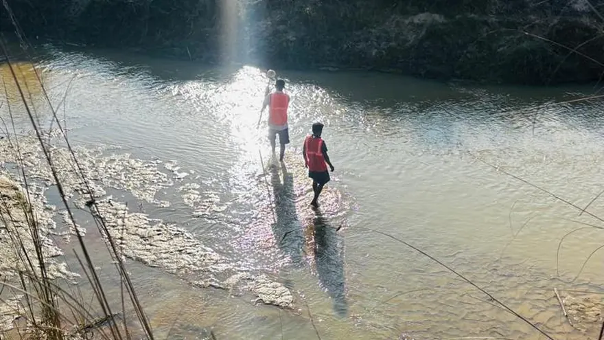
Echo-sounder profiles run on planned lines with GNSS positioning; water level monitored throughout observation.
Bank topography and structures surveyed conventionally and merged with reduced soundings.
Soundings reduced to datum, edited for outliers and built into a bathymetric surface/TIN.
Cross sections, bed contours, volume computations and reports produced from the verified surface.
Soundings are controlled by bar-check/velocity verification and continuous water-level monitoring tied to benchmarks. Crossline comparisons quantify internal consistency, and reduced depths are documented against the stated datum so results are reproducible.
Government / Water Resources
 Water Resources
 Balaji Surveyors Pvt Ltd
Rivers, reservoirs, lakes, canals, ponds and mining pits — the vessel and method are chosen to suit depth, access and current conditions.
All soundings are reduced to a stated datum through water-level observations connected to benchmarks — results are usable in design, not just relative depths.
Yes — repeat bathymetric surveys against an earlier surface yield deposition/erosion volumes and remaining capacity; methodology consistency between epochs is the key, and BTPL documents it.
Tell us the location, the approximate area or corridor length, and the deliverables you need — we will respond with the appropriate methodology and a clear proposal.