
Technology & Equipment
The technology behind BTPL's accuracy — grouped by capability. Methodology is selected per project: terrain, vegetation, accuracy class and timeline decide the sensor, not the other way around.
Aerial Mapping
UAV mapping systems for efficient large-area data acquisition — photogrammetric flights planned from the required GSD and accuracy.
- Survey-grade mapping UAVs (RTK/PPK-enabled)
- Mission planning & flight management software
- Camera systems for photogrammetric capture
LiDAR Reality Capture
LiDAR systems for dense 3D measurement and terrain modelling — the method of choice under vegetation.
- UAV LiDAR sensor systems
- Trajectory processing against GNSS base data
- Classification & bare-earth extraction software
GNSS Positioning
Professional GNSS/RTK technology for survey control and field observations on the project datum.
- Multi-frequency GNSS receivers (static + RTK)
- Baseline processing & network adjustment software
- Field controllers with coded workflows
Engineering Measurement
Total Stations, Digital Levels and associated field instrumentation for detail survey, levelling and setting-out.
- Total stations
- Digital levels
- Prisms, tripods & field accessories
Hydrographic Mapping
Positioning and echo-sounding systems for underwater terrain measurement in rivers, canals and reservoirs.
- Digital echo sounders
- GNSS/DGPS positioning for soundings
- Hydrographic processing software
Processing & Drafting
In-house processing capability that turns raw field data into verified engineering products.
- Photogrammetry & point-cloud suites
- Terrain modelling & volume software
- CAD/GIS drafting environments
Instruments Where It Matters
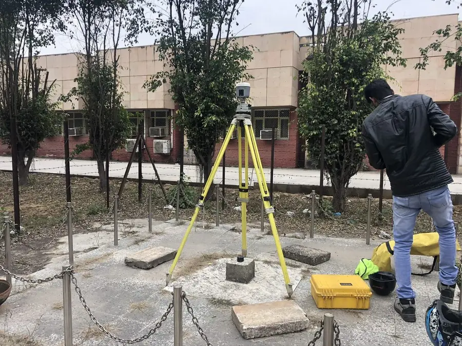
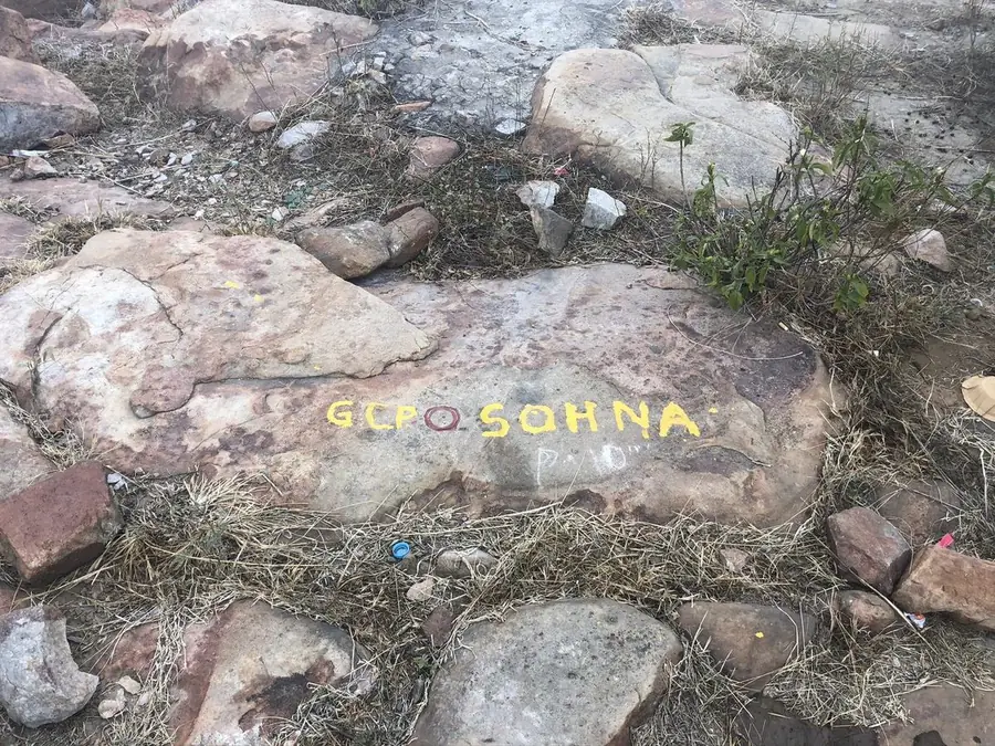
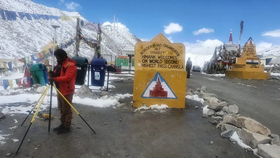
Real BTPL fieldwork — from reference pillars to painted GCPs to high-altitude corridors.
The Right Method for the Site
| Site condition | Preferred method | Why |
|---|---|---|
| Open terrain, large area | UAV photogrammetry + GNSS control | Fast coverage, cm-class GSD, verified by check points |
| Vegetated terrain / forest corridor | Drone LiDAR | Laser returns reach the ground through canopy gaps |
| Dense urban detail, utilities, levels on structures | Total station + levelling | Direct measurement with complete feature capture |
| Rivers, reservoirs, canals | Echo sounder + GNSS | Underwater terrain sounded on a stated datum |
| Long linear corridors | Hybrid: aerial + ground sections | Aerial productivity, ground-verified profiles |
| Control frameworks | Static GNSS networks | Adjusted, documented, defensible coordinates |
Have a Survey or Geospatial Requirement?
Share your project location, approximate scope and required deliverables. Our team will review the requirement and discuss the appropriate survey approach.