
Bearing Technology Pvt. Ltd.
A Delhi-based surveying and geospatial company, established in August 2009 — known for dependability, accuracy and meeting technical requirements on time and on budget.
Our Journey
Bearing Technology was established in August 2009 and has grown from a conventional land-survey practice into an integrated geospatial company. The technologies changed — total stations were joined by GNSS networks, UAV photogrammetry, LiDAR and hydrographic systems — but the discipline stayed the same: measurements you can defend, drawings you can build from.
BTPL has executed projects for government, semi-government and private organisations across India. Our field teams' professional experience ranges from 10 to 15+ years, and the strength of the company lies in meeting its commitments — the reason clients continue working with us year after year.
What We Do
Topographic, UAV/drone, LiDAR, GNSS and hydrographic surveys, with in-house processing to CAD, GIS and terrain deliverables. The full capability map is on the Services page.
Technology & Innovation
We select methodology by site and requirement, not habit — and we build our own tools where it improves the work, including the free BTPL Coordinate Converter used by surveyors and engineers.
- Established: August 2009
- 15+ years of professional survey practice
- Office: Mundka, Delhi
- Field operations across India
Survey crews equipped for GNSS, total-station, UAV and hydrographic work, supported by an in-house processing and drafting team — one accountable workflow from field to deliverable.
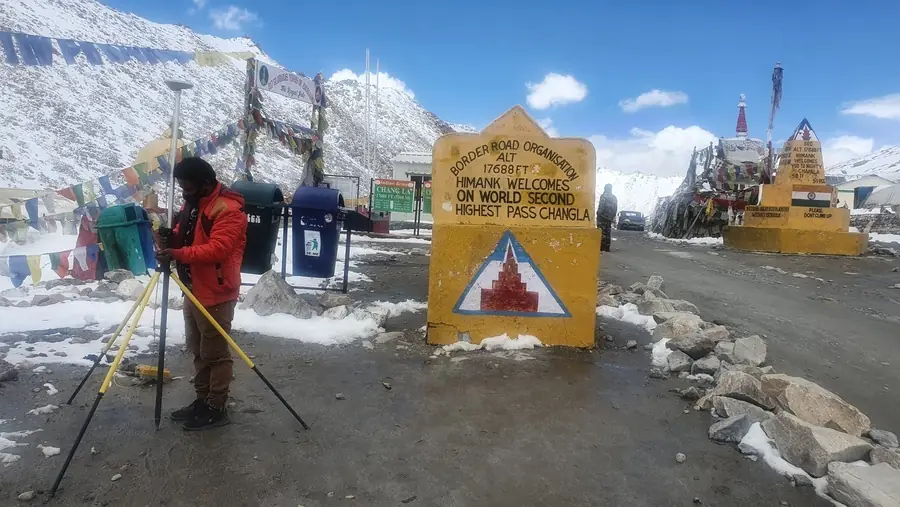

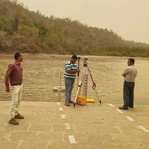
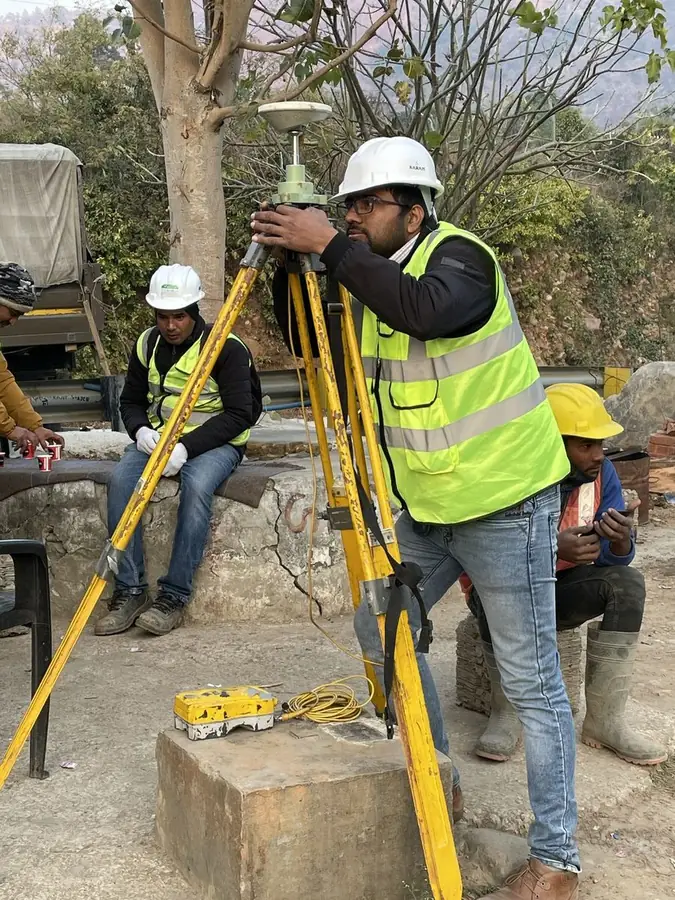
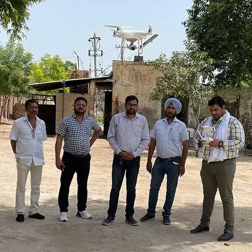
BTPL teams at work — Himalayan control, river gauging, construction setting-out and UAV operations.
Our Quality Approach
Control First
Every survey stands on an adjusted, documented control framework connected to benchmarks.
Independent Checks
Check points, loop closures and re-observation — accuracy is demonstrated, not assumed.
Documented Methodology
Survey reports record method, instruments and residuals so results remain defensible years later.
Careers at BTPL
We periodically hire surveyors, GNSS/UAV operators, processing specialists and CAD draftsmen. Send your CV with a note on your field experience — applications are reviewed for current and upcoming projects.
Apply by EmailHave a Survey or Geospatial Requirement?
Share your project location, approximate scope and required deliverables. Our team will review the requirement and discuss the appropriate survey approach.