GNSS / DGPS / RTK Survey

High-accuracy survey control, GCP establishment, static observations and RTK field measurements — the geodetic foundation every project stands on.

Overview

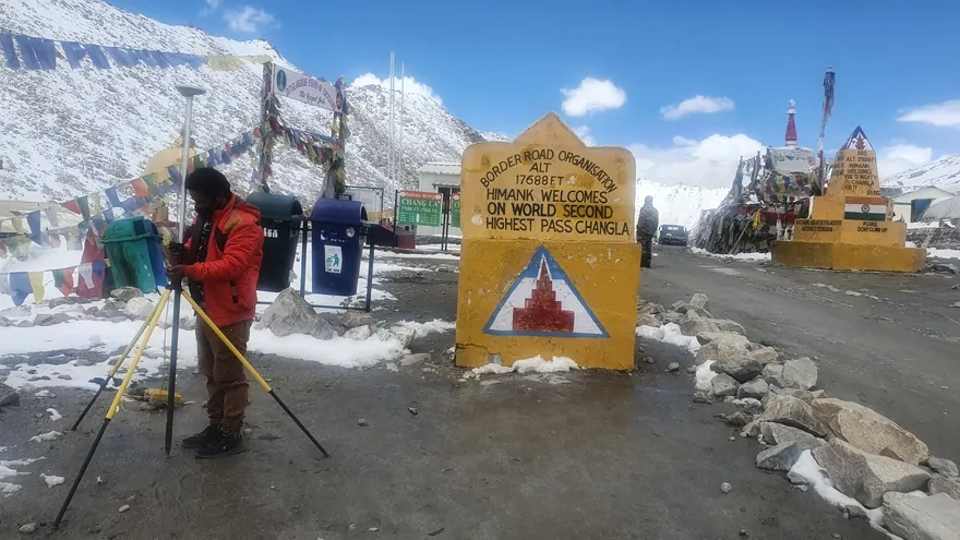
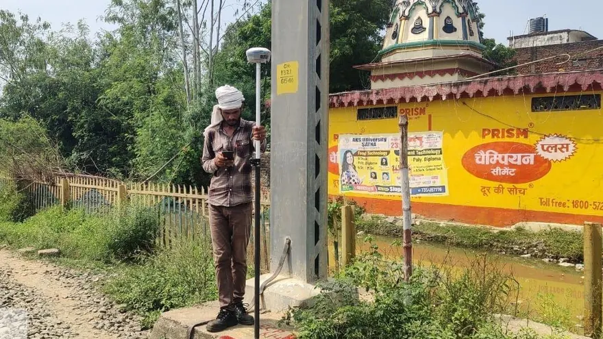
Every reliable survey begins with reliable control. BTPL establishes geodetic control networks using multi-frequency GNSS receivers — static observations for primary control, and DGPS/RTK methods for densification, ground control points and field measurement.

Control is delivered on the coordinate system the project actually needs: UTM/WGS 84, national grid, or a local project grid with documented transformation parameters.

Applications

  • Primary and secondary control networks
  • Ground control and check points for UAV/LiDAR surveys
  • Benchmark transfer and levelling connections
  • Construction control for setting-out
  • Boundary and cadastral reference control
  • Monitoring reference frameworks
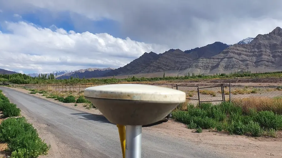
BTPL GNSS observation against the Ladakh ranges — control work at altitude.
Deliverables
Adjusted coordinate scheduleControl station descriptionsNetwork adjustment reportGCP/check-point setsTransformation parameters where applicable
Technology used
  • Multi-frequency GNSS receivers (static + RTK)
  • Post-processing and network adjustment software
  • Digital levels for vertical connections
  • Total stations for hybrid control work
Methodology

How BTPL Performs the Work

1

Network design

Station placement for geometry, sky-view and permanence; observation plan matched to accuracy class.

2

Static observation

Simultaneous multi-station GNSS sessions with redundancy; independent re-occupation where specified.

3

Processing & adjustment

Baseline processing and least-squares network adjustment; results quality-checked on loop closures and residuals.

4

Densification

RTK/PPK densification from adjusted control; every point stored with fix status and precision estimates.

5

Documentation

Station descriptions, witness marks, coordinate schedules and methodology report.

Accuracy & Quality Control

Redundancy is designed into every network — no critical station depends on a single observation. Adjustments are reported with residuals and confidence figures, and RTK work is controlled by re-observation checks on known stations at defined intervals.

Related Industries

Related BTPL Projects

All projects

FAQ

Common Questions

What is the difference between DGPS and RTK?

Both are differential GNSS methods. In common Indian usage, 'DGPS survey' refers to post-processed static/rapid-static observation for control (highest accuracy), while RTK gives centimetre-class positions in real time for field measurement and stake-out.

Which coordinate system will my data be in?

Whatever the project requires — UTM on WGS 84 is the common default, and BTPL documents zone, datum and any transformation used, so downstream users are never guessing.

How long does control establishment take?

It depends on network size and accuracy class; static sessions for primary control are observation-time driven. BTPL states the observation plan up front.

Planning a GNSS / DGPS / RTK Survey?

Tell us the location, the approximate area or corridor length, and the deliverables you need — we will respond with the appropriate methodology and a clear proposal.