
Garhmukteshwar Riverfront — Drone LiDAR & Bathymetric Survey
Government / Water Resources · Garhmukteshwar, Hapur district, Uttar Pradesh
Project Overview
Bearing Technology Private Limited (BTPL) carried out a drone LiDAR and bathymetric survey of about 2.5 km² of the Ganga riverfront at Garhmukteshwar, Hapur district, Uttar Pradesh, for Hapur Zila Panchayat ahead of the Garh Ganga Mela 2026, putting the land and the river bed on one datum.
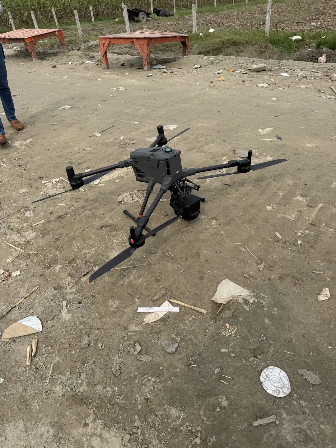
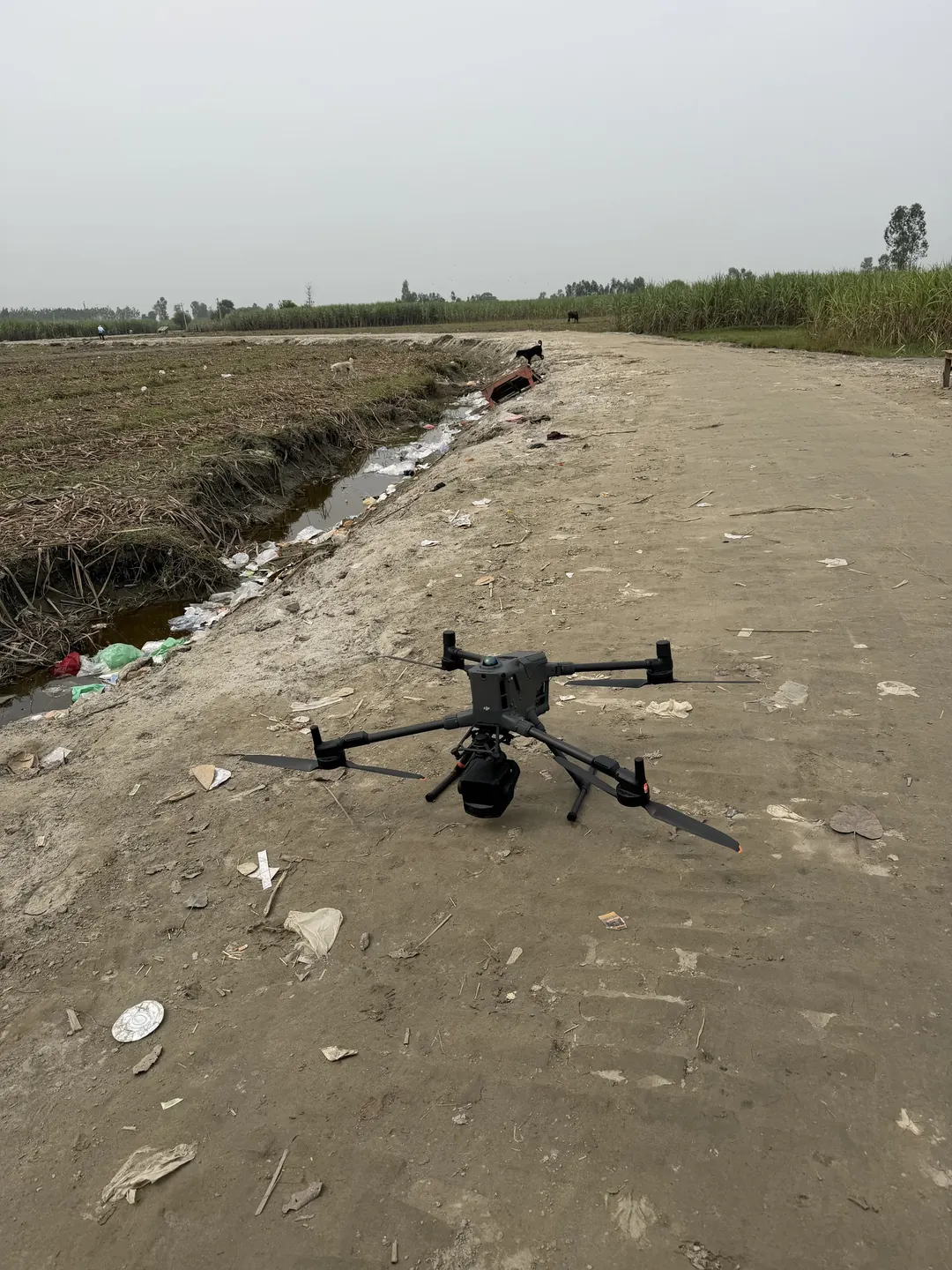
BTPL carried out a drone LiDAR and bathymetric survey of about 2.5 km² of the Ganga riverfront at Garhmukteshwar, in Hapur district, Uttar Pradesh, for Hapur Zila Panchayat (the District Panchayat). The survey was commissioned for the Garhmukteshwar River Front project ahead of the Garh Ganga Mela 2026, the fair held on the riverbank at Garhmukteshwar around Kartik Purnima. LiDAR was flown on a DJI Matrice 400 RTK carrying a Zenmuse L3 to capture the land side — the sand flats, ghats, embankments, tracks and the fields behind them — while the bed of the river was surveyed from a boat with a single-beam echo sounder, both on one GNSS control framework. Fieldwork was carried out, and the data delivered to the Zila Panchayat, in October 2026.
What did Hapur Zila Panchayat require?
A riverfront that is to host a mela has to be planned on the ground as it stands after the monsoon, not as it stood the year before: the Ganga reworks its banks and sand bars from season to season, and the flats, ghats and approaches that the fair occupies change with it. Planning needs the level of the land the fair will use and the depth of the water beside it, held on one datum, so that layouts on the bank, access routes and the bathing frontage can be set out against measured ground and measured depth rather than an old map. The work also had to fit into the period before the mela.
What made this project challenging?
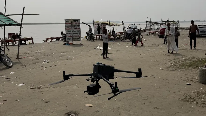
- A riverfront in daily use: the survey was flown from and over a working ghat, with pilgrims, temporary stalls, vehicles and onlookers on the sand, so take-off and landing points had to be kept clear and flights timed around the activity below.
- Open water returns no usable LiDAR ground: the near-infrared laser does not measure through water, so the river bed needed its own bathymetric survey and the two surfaces had to be joined at the waterline.
- Kites were in the air over the ghat through the flying day and service wires cross parts of the riverfront, and both governed flight height, routing and the choice of take-off points.
- Shallow margins and sand bars along the bank, where the survey boat cannot work, leave a strip between the sounded bed and the dry bank that has to be covered for the land and water surfaces to meet.
- Soft, low-relief sand with few natural features, on which control marks have to be placed where foot and vehicle traffic will not disturb them before they are used.
How did BTPL carry out the survey?
BTPL first set up GNSS control on stable ground above the riverfront and ran a base station through the flying, so that the LiDAR trajectory could be processed against it and every dataset — LiDAR, soundings and ground checks — sat on one datum. LiDAR flight lines were planned over the land area with side overlap between adjacent lines, and the Matrice 400 RTK was launched from cleared points on the ghat and on the embankment track behind it, with flights timed around activity on the riverfront. The channel was surveyed from a boat with a single-beam echo sounder and GNSS positioning, running sounding lines across the river together with check lines, while the water level was observed so that every sounding could be reduced to the same datum as the land survey. In water too shallow for the boat, the bed and the waterline were picked up by RTK, so that the sounded surface closes onto the LiDAR surface of the bank.
How was the data processed?
The LiDAR trajectory was processed against the GNSS base data, and the flight lines were georeferenced and compared in their overlap before being merged into one point cloud, coloured from the RGB imagery captured with the LiDAR, from which the orthomosaic was also produced. The cloud was classified to separate bare ground from stalls, vehicles, vegetation and other above-ground features, and returns from the water surface were removed so that they could not be taken for ground. Soundings were reduced for transducer draft, sound velocity and observed water level, filtered for spurious returns and gridded. The DSM was built from all surface returns and the DTM from the ground class; the bare-earth land surface and the river-bed surface were then joined along the waterline, and the topographical drawing (DWG) and the XYZ point file were extracted from the result.
How was accuracy verified?
Check points were observed by RTK on open, firm ground across the site and compared with the LiDAR surface, and adjacent flight lines were compared in their overlap to confirm that the merged cloud carries no step between lines. Bathymetric consistency was checked where sounding lines and check lines cross, together with bar checks and sound velocity observation during sounding. At the waterline, the LiDAR bank surface and the RTK levels observed on the shallow margin were compared, so that the land and river-bed surfaces meet without a step. The survey's accuracy is better than 5 cm.
What was delivered?
BTPL delivered an RGB point cloud, orthomosaic, DTM, DSM, topographical drawing in DWG and XYZ point file to Hapur Zila Panchayat. Together they give the Zila Panchayat one measured surface of the Garhmukteshwar riverfront — the sand flats, ghats and approaches on land and the bed of the Ganga beside them — on a single datum, surveyed after the monsoon and ahead of the Garh Ganga Mela 2026. Layouts on the bank, access routes and the depth of water along the bathing frontage can be planned from the same data, and the survey stands as a record of the riverfront against which later changes in the bank and the bed can be measured.
Hapur Zila Panchayat (District Panchayat)
Field photographs and video are below. Deliverable extracts (orthomosaic, terrain, CAD) will be added once cleared for publication (client-sensitive information removed per BTPL policy).
Photographs and video from the field
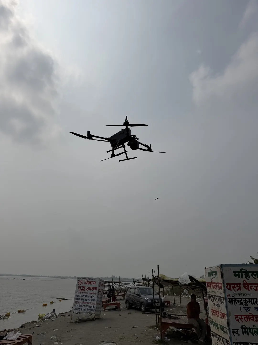
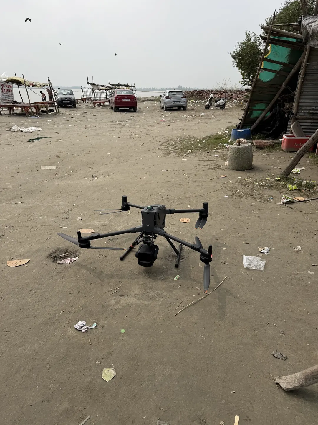
Taken by the BTPL field crew at Garhmukteshwar in October 2026.
Planning a Similar Project?
Share your location, scope and required deliverables — BTPL will propose the appropriate survey methodology.