 Government / Water Resources
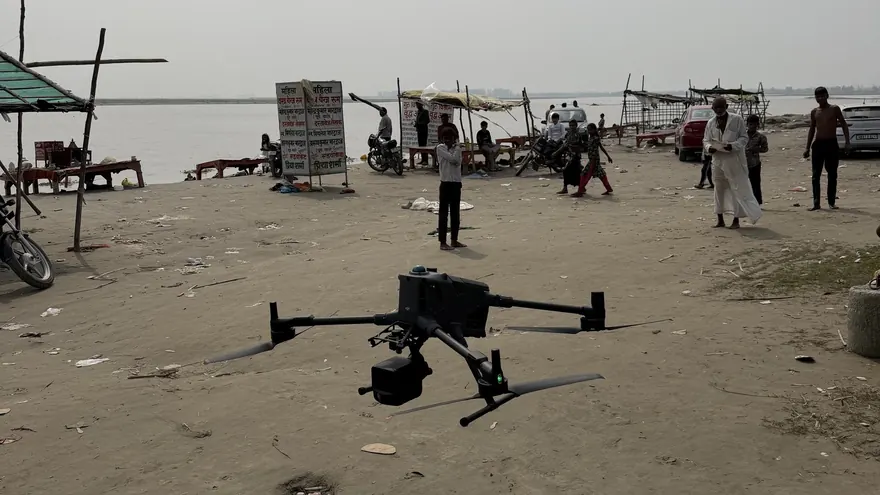
Garhmukteshwar Riverfront — Drone LiDAR & Bathymetric Survey
RGB Point CloudOrthomosaicDTM & DSMTopographic DWGXYZ File
ClientHapur Zila Panchayat

Dense 3D point-cloud acquisition for terrain, corridors, infrastructure and vegetation-affected sites where photogrammetry cannot see the ground.
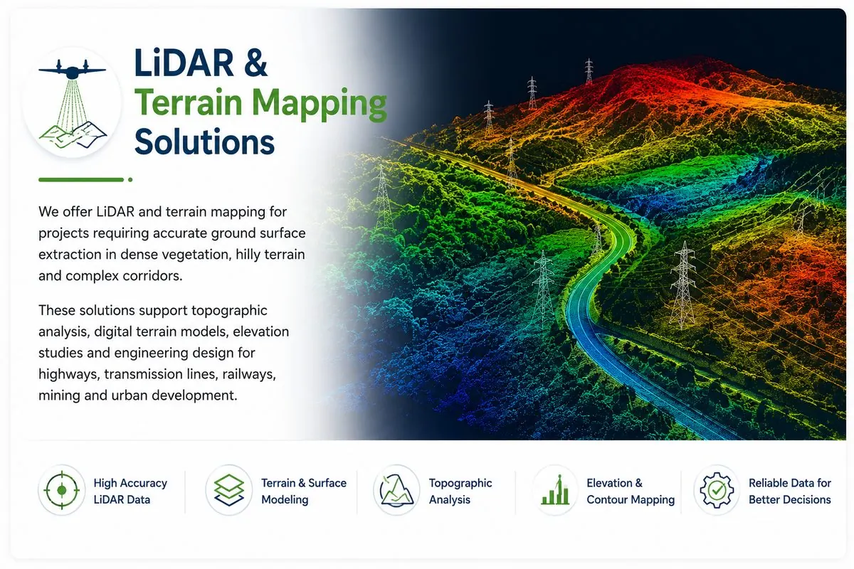
LiDAR measures the ground directly with laser pulses — including through gaps in vegetation canopy that make photogrammetric terrain extraction unreliable. A drone LiDAR survey produces a dense, classified point cloud from which true bare-earth terrain, canopy heights and structures are separated.
BTPL deploys drone LiDAR where the project demands it: forested corridors, plantation areas, undulating vegetated terrain, and infrastructure sites where a reliable DTM is the foundation of design.
BTPL uses drone LiDAR survey to measure the ground directly with laser pulses — through gaps in vegetation that photogrammetry cannot see past — and to produce classified point clouds and bare-earth terrain models for:
Point-density, accuracy and canopy assessment; flight and control planning to suit the deliverable.
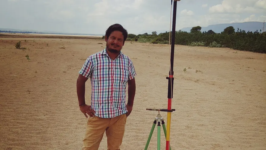
GNSS base stations and control points established on the project datum; check points distributed across terrain types.
Calibrated flight lines with controlled overlap; trajectory processed against GNSS base data.
Strip adjustment, noise removal, ground classification and feature classification (vegetation, buildings, wires as applicable).
Bare-earth DTM, contours, sections and volumes generated from classified ground points; accuracy verified on check points.
Ground classification is reviewed manually on critical areas — automated classification alone is never treated as final. Vertical accuracy is verified against RTK check points on hard and soft surfaces separately, and the classification report states point densities actually achieved.
Government / Water Resources
 Urban Development
Whenever the ground itself is the deliverable and vegetation is present — LiDAR measures through canopy gaps to the surface, while photogrammetry only reconstructs what the camera sees. For open terrain with good texture, photogrammetry is often the more economical choice.
Density is designed per project — corridor terrain work and clearance analysis have different needs. The plan states the target density and the report states what was achieved.
Yes, and frequently should be: LiDAR provides the terrain, an orthomosaic from the same flight campaign provides the visual context and planimetric detail.
Tell us the location, the approximate area or corridor length, and the deliverables you need — we will respond with the appropriate methodology and a clear proposal.
 DDA
DDA